
Explore with Purpose
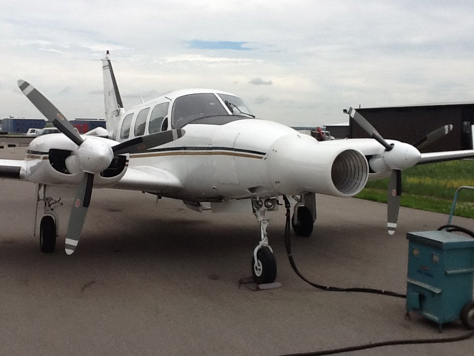
Using aerial technology, Sky Hunter locates pressurized reservoirs using planes outfitted with proprietary hydrocarbon sensors. By collecting, analyzing, and mapping microseeps, Sky Hunter data reveals subsurface reserves, improving the odds of drilling successful wells. This information shortens time from discovery to production.
The Sky Hunter Difference
-

Informed Exploration
Sky Hunter can identify high-potential local areas ahead of any seismic surveys or drilling, allowing for targeted seismic programs and fewer dry holes being drilled. This means higher success ratios, higher profits, and a lower per-barrel finding cost.
-

Rapid Results
Sky Hunter’s data and mapping shorten the development cycle on new projects. With increased survey speeds, detailed outputs, and reduced data processing times, Sky Hunter can survey remote, difficult-to-access areas quickly and easily.
-

Airborne Advantage
Sky Hunter's Cleantech airborne surveys are non-invasive, safer, and have a significantly lower environmental footprint when compared to more intrusive, ground-based surveying techniques.
Take a look at some of our previous projects.
Ready to explore?
Connect with us to survey your next project.